Auto-delimitation of village lands
Maya villages are mapping and demarcating their own boundaries.
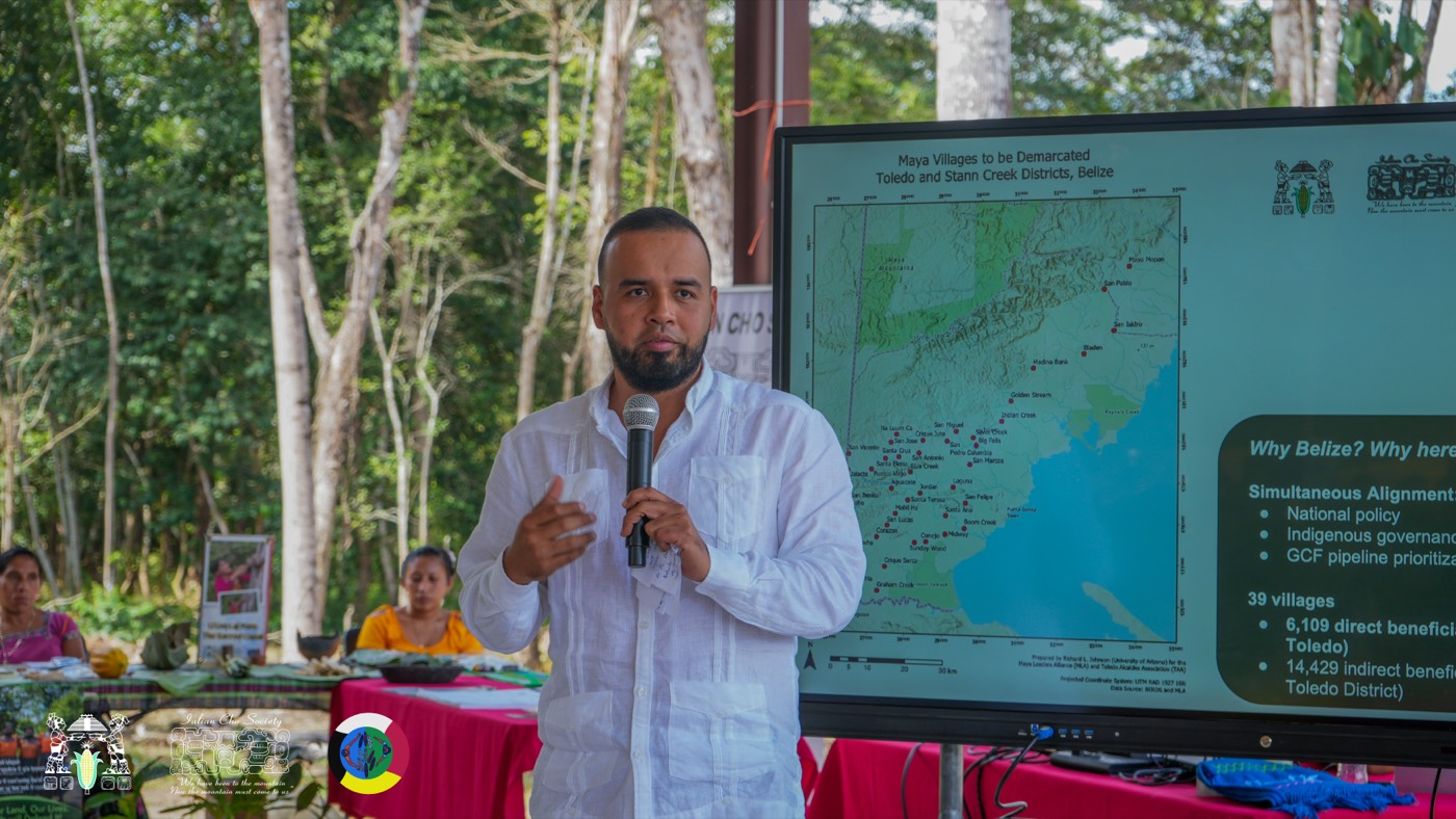
Maya villages identify their lands, harmonise boundaries with their neighbours, and prepare their own maps.
Mapping has been part of the Maya land-rights movement from its beginning. In Julian Cho’s time, international concern for Maya lands led to the evaluation and mapping of the areas the Maya live in, a project that produced the Maya Atlas.
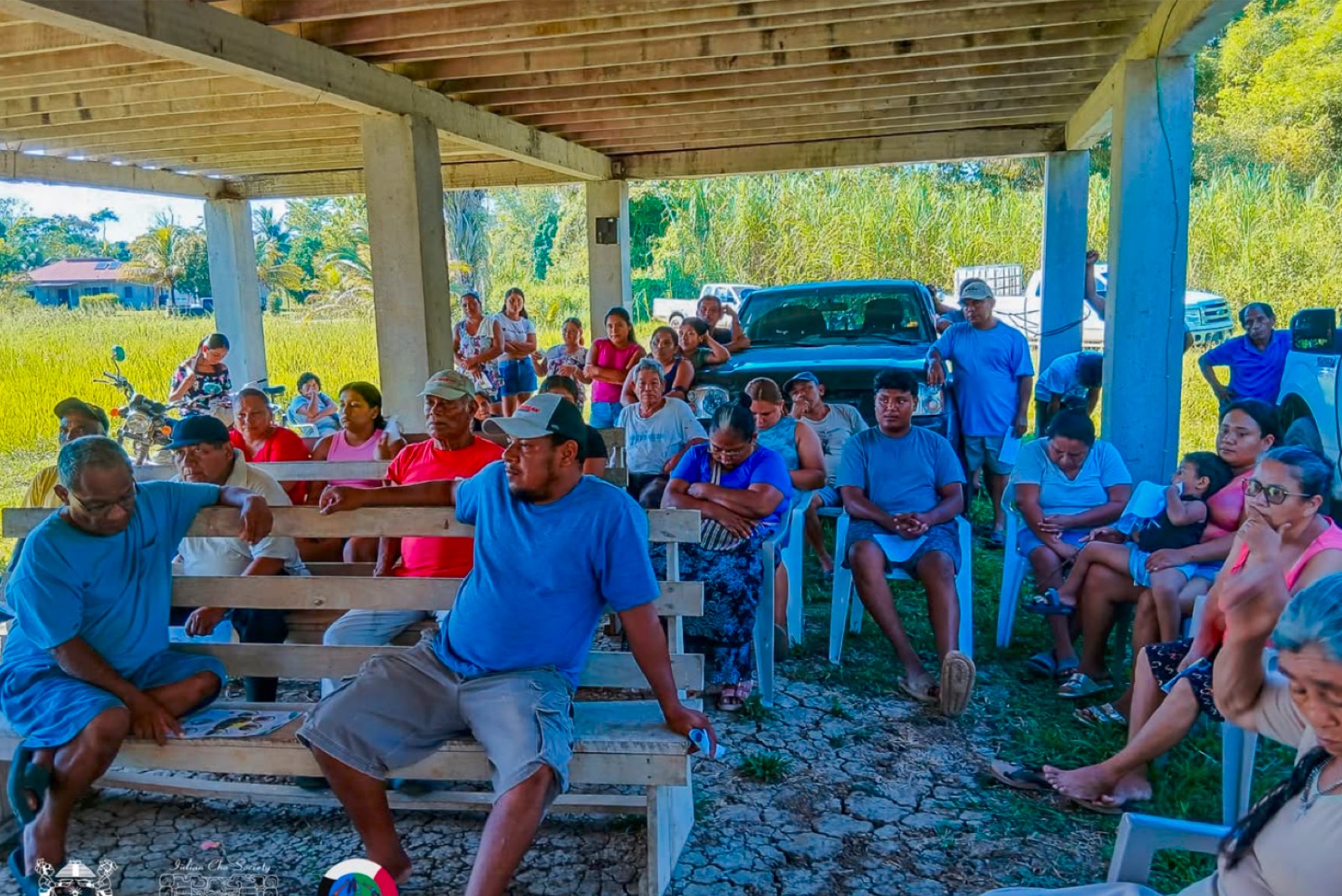
Today, under the methodology agreed to implement the Consent Order, the Maya villages identify their lands, harmonise boundaries with their neighbours and prepare their own maps. The process needs the consent of the villages and is verified by the Government of Belize.
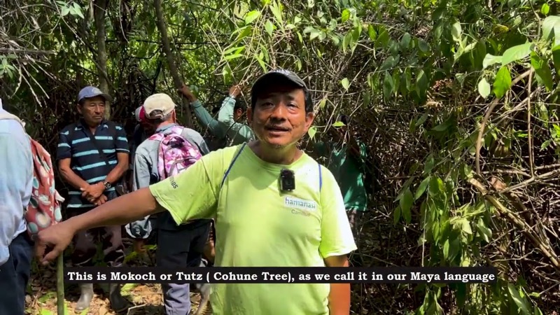
The work is carried out by a mapping team with a Mapping Coordinator, a GIS Specialist, a Boundary Harmonization Council and Community Field Mappers, combining GIS technology with the villages’ own knowledge of their lands.
Under the delimitation methodology, the auto-delimitation of Maya lands needs to be consented to by the Maya villages and verified by the Government of Belize. In 2020 the villages consented to auto-delimitation and began mapping their lands.